 vesseltracker.com
Live AIS position:
59.94543° N, 30.17971° E UTC. Near Vassilevsky Ostrov/St Petersburg),
updated 2025-11-11 08:26:03 UTC.
Find the position of the vessel KOALA on the map. The latter are known coordinates and path.
marine traffic ship tracker show on live map
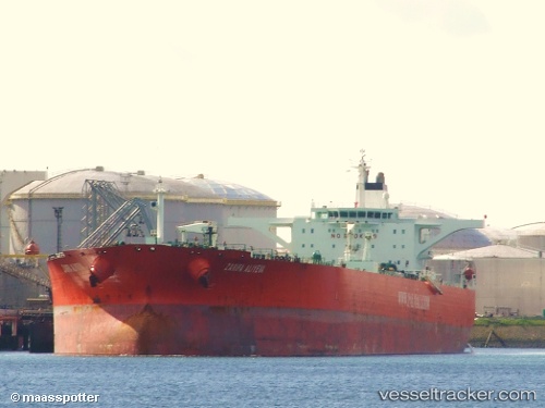
The current position of vessel KOALA is 59.94543 lat / 30.17971 lng. Updated: 2025-11-11 08:26:03 UTCCurrently sailing under the flag of Antigua Barbuda
KOALA built in 2003 year
Deadweight:
164533 tDetails:
Last coordinates of the vessel:
UTC, 59.94543, 30.17971, course: 108, speed: 0.1UTC, 59.94543, 30.17971, course: 108, speed: 0.1
UTC, 59.94543, 30.17971, course: 108, speed: 0.1
UTC, 59.94543, 30.17971, course: 108, speed: 0.1
UTC, 59.94543, 30.17971, course: 108, speed: 0.1
2025-11-11 08:26:03 UTC, 59.94543, 30.17971, course: 108, speed: 0.1