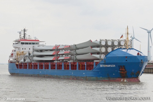
Find the position of the vessel KRISTA on the map. The latter are known coordinates and path.
marine traffic ship tracker show on live map
The current position of vessel KRISTA is 60.4148 lat / 26.9126 lng. Updated: 2025-02-02 02:51:11 UTCCurrently sailing under the flag of Antigua Barbuda
KRISTA built in 2008 year
Deadweight:
6408 tPayload_mass:
6408 tonneGross tonnage:
5313Beam:
16.85 metreService entry:
2008-01-01T00:00:00ZDetails:
Last coordinates of the vessel:
UTC, 60.4278, 26.918, course: 130, speed: 0UTC, 60.4278, 26.9181, course: 130, speed: 0
UTC, 60.4278, 26.9181, course: 130, speed: 0
2025-02-02 02:51:11 UTC, 60.4148, 26.9126, course: 226, speed: 9.4
The ship also appears on the maps: