 vesseltracker.com
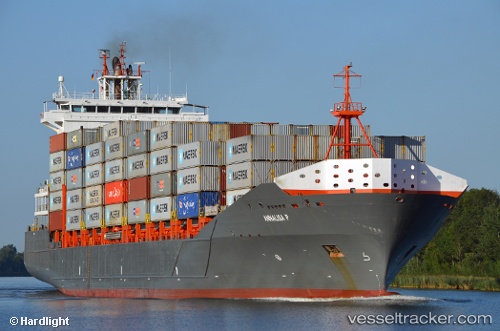
Find the position of the vessel Annalisa P on the map. The latter are known coordinates and path.
marine traffic ship tracker show on live map
The current position of vessel Annalisa P is 54.75466 lat / 13.01777 lng. Updated: 2025-10-28 16:02:09 UTCCurrently sailing under the flag of Antigua Barbuda
Annalisa P built in 2008 year
Deadweight:
18464 tDetails:
Last coordinates of the vessel:
UTC, 54.40774, 11.98120, course: 92, speed: 13.2UTC, 54.49446, 12.25014, course: 14, speed: 13.1
UTC, 54.63270, 12.42250, course: 56, speed: 13.5
2025-10-28 16:02:09 UTC, 54.75466, 13.01777, course: 93, speed: 13.9