 vesseltracker.com
Find the position of the vessel Anna on the map. The latter are known coordinates and path.
marine traffic ship tracker show on live map
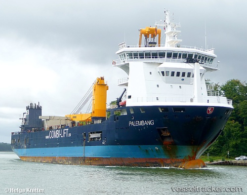
The current position of vessel Anna is 41.00130 lat / 29.01109 lng. Updated: 2025-10-24 15:19:01 UTCCurrently sailing under the flag of Antigua Barbuda
Anna built in 2010 year
Deadweight:
10040 tDetails:
Last coordinates of the vessel:
UTC, 41.00127, 29.01108, course: 152, speed: 0UTC, 41.00131, 29.01112, course: 152, speed: 0
UTC, 41.00128, 29.01111, course: 152, speed: 0
2025-10-24 15:19:01 UTC, 41.00130, 29.01109, course: 152, speed: 0