 vesseltracker.com
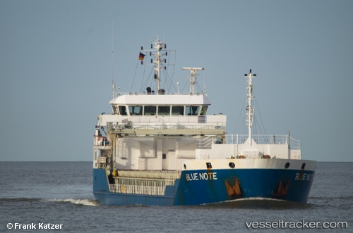
Find the position of the vessel Blue Note on the map. The latter are known coordinates and path.
marine traffic ship tracker show on live map
The current position of vessel Blue Note is 43.42719 lat / 4.89000 lng. Updated: 2025-10-27 17:43:41 UTCCurrently sailing under the flag of Antigua Barbuda
Blue Note built in 2010 year
Deadweight:
5203 tDetails:
Last coordinates of the vessel:
UTC, 43.42719, 4.89004, course: 63, speed: 0UTC, 43.42720, 4.89004, course: 64, speed: 0
UTC, 43.42724, 4.89001, course: 64, speed: 0
2025-10-27 17:43:41 UTC, 43.42719, 4.89000, course: 64, speed: 0