 vesseltracker.com
Find the position of the vessel Niklas G. on the map. The latter are known coordinates and path.
marine traffic ship tracker show on live map
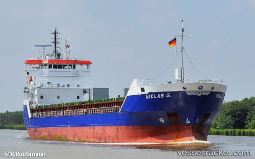
The current position of vessel Niklas G. is 51.21914 lat / 2.94158 lng. Updated: 2025-11-11 15:41:36 UTCCurrently sailing under the flag of Antigua Barbuda
Niklas G. built in 2011 year
Deadweight:
6050 tDetails:
Last coordinates of the vessel:
UTC, 51.21915, 2.94155, course: 119, speed: 0UTC, 51.21914, 2.94159, course: 119, speed: 0
UTC, 51.21913, 2.94156, course: 119, speed: 0
2025-11-11 15:41:36 UTC, 51.21914, 2.94158, course: 119, speed: 0