 vesseltracker.com
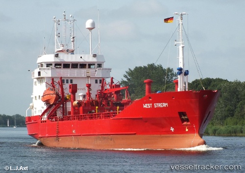
Find the position of the vessel West Stream on the map. The latter are known coordinates and path.
marine traffic ship tracker show on live map
The current position of vessel West Stream is 45.31167 lat / 36.41667 lng. Updated: 2025-11-14 21:45:33 UTCCurrently sailing under the flag of Bahamas
West Stream built in 1979 year
Deadweight:
2550 tDetails:
Last coordinates of the vessel:
UTC, 45.31167, 36.41667, course: -1, speed: -0.1UTC, 45.31167, 36.41667, course: -1, speed: -0.1
UTC, 45.31167, 36.41667, course: -1, speed: -0.1
2025-11-14 21:45:33 UTC, 45.31167, 36.41667, course: -1, speed: -0.1