 vesseltracker.com
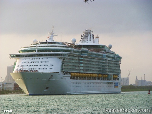
Find the position of the vessel Liberty Of The Seas on the map. The latter are known coordinates and path.
marine traffic ship tracker show on live map
The current position of vessel Liberty Of The Seas is 25.64167 lat / -76.39667 lng. Updated: 2025-11-11 14:09:46 UTCCurrently sailing under the flag of Bahamas
Liberty Of The Seas built in 2007 year
Deadweight:
10600 tDetails:
Last coordinates of the vessel:
UTC, 25.74833, -77.29500, course: -1, speed: 14UTC, 25.70333, -76.98333, course: -1, speed: 13
UTC, 25.67667, -76.75500, course: -1, speed: 13
2025-11-11 14:09:46 UTC, 25.64167, -76.39667, course: -1, speed: 13
The ship also appears on the maps: