 vesseltracker.com
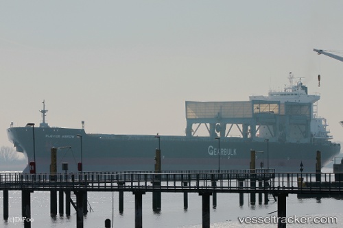
Find the position of the vessel Plover Arrow on the map. The latter are known coordinates and path.
marine traffic ship tracker show on live map
The current position of vessel Plover Arrow is -39.37878 lat / 176.99036 lng. Updated: 2025-10-05 07:59:42 UTCCurrently sailing under the flag of Bahamas
Plover Arrow built in 1997 year
Deadweight:
51421 tDetails:
Last coordinates of the vessel:
UTC, -39.38130, 176.99033, course: 52, speed: 0.4UTC, -39.37978, 176.98988, course: 106, speed: 0
UTC, -39.37886, 176.99020, course: 130, speed: 0.2
2025-10-05 07:59:42 UTC, -39.37878, 176.99036, course: 133, speed: 0.2