 vesseltracker.com
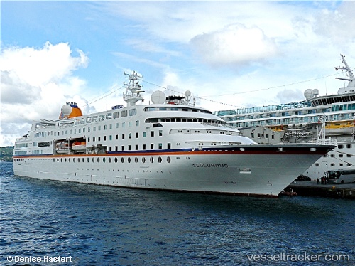
Find the position of the vessel MV HAMBURG on the map. The latter are known coordinates and path.
marine traffic ship tracker show on live map
The current position of vessel MV HAMBURG is 53.97462 lat / 8.49490 lng. Updated: 2025-10-22 20:05:50 UTCCurrently sailing under the flag of Bahamas
MV HAMBURG built in 1997 year
Deadweight:
1378 tDetails:
Last coordinates of the vessel:
UTC, 53.65896, 9.51483, course: 345, speed: 14.7UTC, 53.86857, 9.27988, course: 296, speed: 16.2
UTC, 53.87252, 8.72588, course: 320, speed: 16.2
2025-10-22 20:05:50 UTC, 53.97462, 8.49490, course: 283, speed: 13.6