 vesseltracker.com
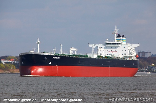
Find the position of the vessel Penelop on the map. The latter are known coordinates and path.
marine traffic ship tracker show on live map
The current position of vessel Penelop is 54.01144 lat / 8.14737 lng. Updated: 2025-10-07 01:14:00 UTCCurrently sailing under the flag of Bahamas
Penelop built in 2006 year
Deadweight:
115091 tDetails:
Last coordinates of the vessel:
UTC, 53.86998, 9.06212, course: 246, speed: 8.7UTC, 53.86051, 8.74412, course: 312, speed: 8.4
UTC, 53.95635, 8.61888, course: 295, speed: 10.2
2025-10-07 01:14:00 UTC, 54.01144, 8.14737, course: 281, speed: 7.9
The ship also appears on the maps: