 vesseltracker.com
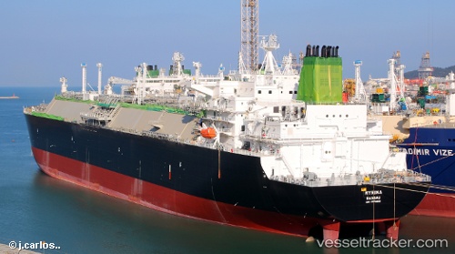
Find the position of the vessel Myrina on the map. The latter are known coordinates and path.
marine traffic ship tracker show on live map
The current position of vessel Myrina is 24.864 lat / -79.5802 lng. Updated: 2025-02-05 18:52:24 UTCCurrently sailing under the flag of Bahamas
Port of registry:
Nassau (capital city of the Commonwealth of the Bahamas)Payload_mass:
95378 tonneGross tonnage:
113263Service entry:
2018-01-01T00:00:00ZManufacturer:
Hanwha Ocean (shipbuilder of South Korea)Details:
Last coordinates of the vessel:
UTC, 25.7264, -79.5756, course: 180, speed: 16.2UTC, 25.4269, -79.5611, course: 175, speed: 16.9
UTC, 25.1755, -79.5635, course: 183, speed: 16.9
2025-02-05 18:52:24 UTC, 24.864, -79.5802, course: 183, speed: 16.5
The ship also appears on the maps: