 vesseltracker.com
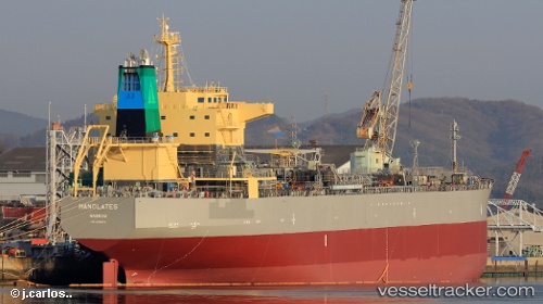
Find the position of the vessel Manolates on the map. The latter are known coordinates and path.
marine traffic ship tracker show on live map
The current position of vessel Manolates is 19.241205 lat / 91.954238333333 lng. Updated: 2025-09-12 21:14:35 UTCCurrently sailing under the flag of Bahamas
Details:
Last coordinates of the vessel:
UTC, 19.51078, 91.871745, course: 166, speed: 13.7UTC, 19.51078, 91.871745, course: 166, speed: 13.7
UTC, 19.241205, 91.954238333333, course: 167, speed: 13.9
2025-09-12 21:14:35 UTC, 19.241205, 91.954238333333, course: 167, speed: 13.9