 vesseltracker.com
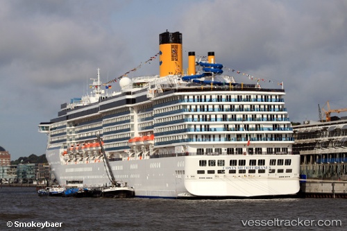
Find the position of the vessel COSTA MEDITERRANEA on the map. The latter are known coordinates and path.
marine traffic ship tracker show on live map
The current position of vessel COSTA MEDITERRANEA is 26.20973 lat / 126.67923 lng. Updated: 2025-10-28 01:17:31 UTCCurrently sailing under the flag of Bahamas
COSTA MEDITERRANEA built in 2003 year
Deadweight:
7500 tDetails:
Last coordinates of the vessel:
UTC, 26.21333, 125.39333, course: -1, speed: 20UTC, 26.20557, 125.79610, course: 90, speed: 19.7
UTC, 26.20431, 126.33558, course: 86, speed: 18.2
2025-10-28 01:17:31 UTC, 26.20973, 126.67923, course: 84, speed: 18.4