 vesseltracker.com
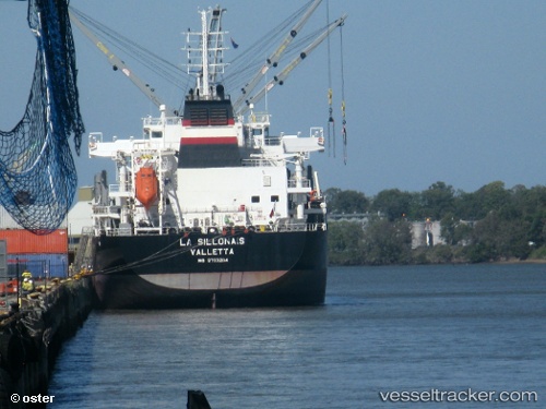
Find the position of the vessel AFRICAN ORIOLE on the map. The latter are known coordinates and path.
marine traffic ship tracker show on live map
The current position of vessel AFRICAN ORIOLE is 17.7111 lat / 83.2821 lng. Updated: 2025-07-09 12:07:06 UTCCurrently sailing under the flag of Bahamas
AFRICAN ORIOLE built in 2015 year
Deadweight:
40481 tDetails:
Last coordinates of the vessel:
UTC, 17.711, 83.2821, course: 175, speed: 0UTC, 17.711, 83.2821, course: 175, speed: 0
UTC, 17.711, 83.2821, course: 175, speed: 0
2025-07-09 12:07:06 UTC, 17.7111, 83.2821, course: 175, speed: 0