 vesseltracker.com
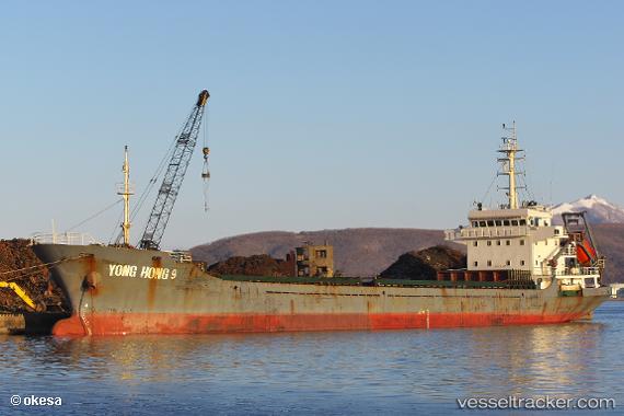
Vessel Yong Hong 9 IMO: 9571337, MMSI: 312432000 General Cargo Ship
UTC, 22.31815, 114.06079, course: 37, speed: 0.1
UTC, 22.27700, 114.09314, course: 166, speed: 9.8
2026-01-15 04:24:49 UTC, 21.96655, 114.03235, course: 206, speed: 9.7
Live AIS position:
UTC. Near WAILINGDING ISLAND),
updated 2026-01-15 04:24:49 UTC.
Find the position of the vessel Yong Hong 9 on the map. The latter are known coordinates and path.
marine traffic ship tracker show on live map
The current position of vessel Yong Hong 9 is 21.96655 lat / 114.03235 lng. Updated: 2026-01-15 04:24:49 UTCDetails:
Last coordinates of the vessel:
UTC, 22.31945, 114.06172, course: 209, speed: 0UTC, 22.31815, 114.06079, course: 37, speed: 0.1
UTC, 22.27700, 114.09314, course: 166, speed: 9.8
2026-01-15 04:24:49 UTC, 21.96655, 114.03235, course: 206, speed: 9.7