 vesseltracker.com
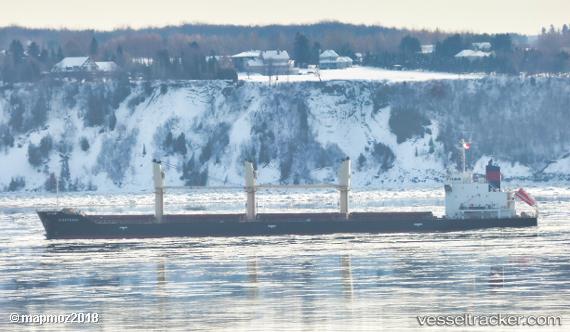
Find the position of the vessel LUCKY TRADER on the map. The latter are known coordinates and path.
marine traffic ship tracker show on live map
The current position of vessel LUCKY TRADER is 40.98 lat / 28.9269 lng. Updated: 2025-07-21 10:36:42 UTCCurrently sailing under the flag of Barbados
LUCKY TRADER built in 2011 year
Deadweight:
25028 tDetails:
Last coordinates of the vessel:
UTC, 40.98, 28.9269, course: 220, speed: 0.1UTC, 40.98, 28.9269, course: 220, speed: 0.1
UTC, 40.98, 28.9269, course: 220, speed: 0.1
2025-07-21 10:36:42 UTC, 40.98, 28.9269, course: 220, speed: 0.1
The ship also appears on the maps: