 vesseltracker.com
Live AIS position:
43.47943° N, 3.76997° W UTC. Near Santander),
updated 2025-11-24 05:01:16 UTC.
Find the position of the vessel PRINCESS SOPHIA on the map. The latter are known coordinates and path.
marine traffic ship tracker show on live map
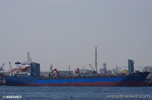
The current position of vessel PRINCESS SOPHIA is 43.47943 lat / -3.76997 lng. Updated: 2025-11-24 05:01:16 UTCCurrently sailing under the flag of Barbados
PRINCESS SOPHIA built in 2012 year
Deadweight:
7541 tDetails:
Last coordinates of the vessel:
UTC, 43.47903, -3.77077, course: 319, speed: 0.2UTC, 43.47895, -3.77079, course: 323, speed: 0.2
UTC, 43.47928, -3.77023, course: 289, speed: 0.3
2025-11-24 05:01:16 UTC, 43.47943, -3.76997, course: 280, speed: 0.5