 vesseltracker.com
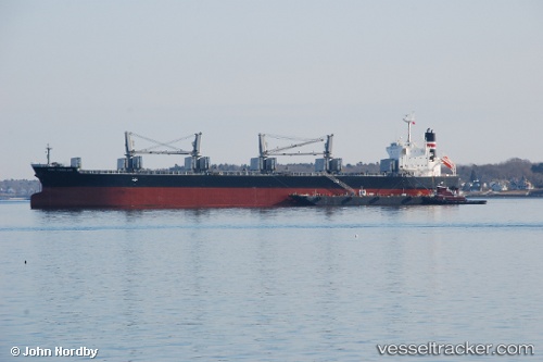
Find the position of the vessel Super Saka on the map. The latter are known coordinates and path.
marine traffic ship tracker show on live map
The current position of vessel Super Saka is 22.25349 lat / 91.73990 lng. Updated: 2025-11-03 02:55:26 UTCCurrently sailing under the flag of Barbados
Super Saka built in 2011 year
Deadweight:
55596 tDetails:
Last coordinates of the vessel:
UTC, 22.25428, 91.74056, course: 174, speed: 0.4UTC, 22.25406, 91.73998, course: 161, speed: 0.3
UTC, 22.25425, 91.74059, course: 175, speed: 0.1
2025-11-03 02:55:26 UTC, 22.25349, 91.73990, course: 175, speed: 0.2
The ship also appears on the maps: