 vesseltracker.com
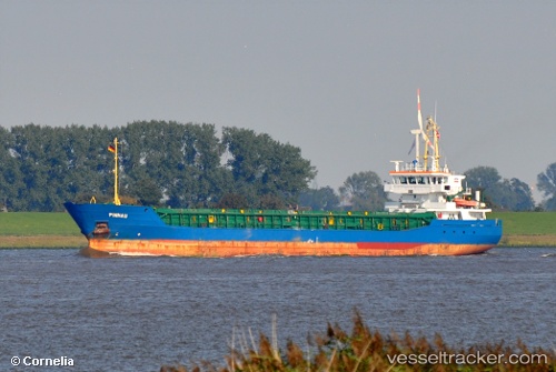
Vessel C. RIGEL IMO: 9199139, MMSI: 314683000 General Cargo Ship
UTC, 53.61955, -0.70275, course: 316, speed: 0
UTC, 53.69861, -0.48107, course: 41, speed: 10.8
2026-01-13 17:49:59 UTC, 53.62810, -0.14594, course: 116, speed: 11.3
Live AIS position:
UTC. Near Immingham),
updated 2026-01-13 17:49:59 UTC.
Find the position of the vessel C. RIGEL on the map. The latter are known coordinates and path.
marine traffic ship tracker show on live map
The current position of vessel C. RIGEL is 53.62810 lat / -0.14594 lng. Updated: 2026-01-13 17:49:59 UTCCurrently sailing under the flag of Barbados
C. RIGEL built in 2003 year
Deadweight:
3687 tDetails:
Last coordinates of the vessel:
UTC, 53.61953, -0.70283, course: 316, speed: 0UTC, 53.61955, -0.70275, course: 316, speed: 0
UTC, 53.69861, -0.48107, course: 41, speed: 10.8
2026-01-13 17:49:59 UTC, 53.62810, -0.14594, course: 116, speed: 11.3