 vesseltracker.com
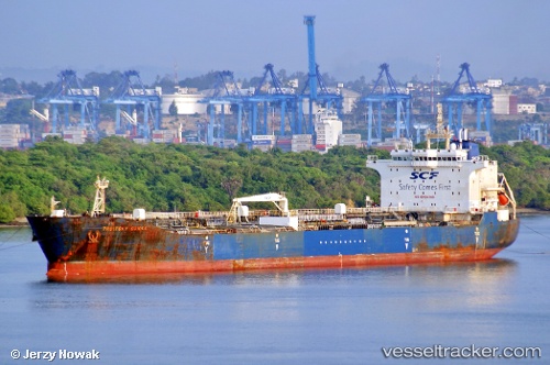
Find the position of the vessel AKAR WEST on the map. The latter are known coordinates and path.
marine traffic ship tracker show on live map
The current position of vessel AKAR WEST is 41.3053 lat / 36.405 lng. Updated: 2025-06-06 12:03:17 UTCCurrently sailing under the flag of Barbados
Payload_mass:
47199 tonneGross tonnage:
27725Service entry:
2003-01-01T00:00:00ZDetails:
Last coordinates of the vessel:
UTC, 41.3069, 36.4084, course: 216, speed: 0UTC, 41.3048, 36.4054, course: 49, speed: 0.1
UTC, 41.3052, 36.4051, course: 67, speed: 0
2025-06-06 12:03:17 UTC, 41.3053, 36.405, course: 69, speed: 0