 vesseltracker.com
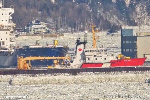
Find the position of the vessel Earl Grey on the map. The latter are known coordinates and path.
marine traffic ship tracker show on live map
The current position of vessel Earl Grey is 43.7529 lat / -65.3203 lng. Updated: 2025-08-05 08:13:20 UTCCurrently sailing under the flag of Canada
Earl Grey built in 1986 year
Deadweight:
1159 tDetails:
Last coordinates of the vessel:
UTC, 43.7529, -65.3203, course: 272, speed: 0UTC, 43.7529, -65.3203, course: 272, speed: 0
UTC, 43.7529, -65.3203, course: 272, speed: 0
2025-08-05 08:13:20 UTC, 43.7529, -65.3203, course: 272, speed: 0
The ship also appears on the maps: