 vesseltracker.com
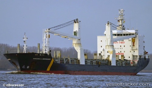
Find the position of the vessel Rosaire A. Desgagnes on the map. The latter are known coordinates and path.
marine traffic ship tracker show on live map
The current position of vessel Rosaire A. Desgagnes is 45.5388 lat / -73.5368 lng. Updated: 2025-06-21 18:26:26 UTCCurrently sailing under the flag of Barbados
Rosaire A. Desgagnes built in 2007 year
Speed:
15 knotDeadweight:
12776 tPayload_mass:
12776.7 tonneGross tonnage:
9611Service entry:
2007-01-01T00:00:00ZDetails:
Last coordinates of the vessel:
UTC, 45.5388, -73.5369, course: 216, speed: 0UTC, 45.5385, -73.537, course: 217, speed: 0
UTC, 45.5387, -73.5368, course: 217, speed: 0
2025-06-21 18:26:26 UTC, 45.5388, -73.5368, course: 217, speed: 0
The ship also appears on the maps: