 vesseltracker.com
Find the position of the vessel Manitoulin on the map. The latter are known coordinates and path.
marine traffic ship tracker show on live map
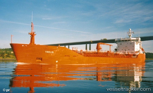
The current position of vessel Manitoulin is 42.8711 lat / -78.8774 lng. Updated: 2025-07-18 18:21:30 UTCCurrently sailing under the flag of Canada
Manitoulin built in 1991 year
Deadweight:
14986 tDetails:
Last coordinates of the vessel:
UTC, 42.8711, -78.8774, course: 328, speed: 0UTC, 42.8711, -78.8774, course: 328, speed: 0
UTC, 42.8711, -78.8774, course: 328, speed: 0
2025-07-18 18:21:30 UTC, 42.8711, -78.8774, course: 328, speed: 0