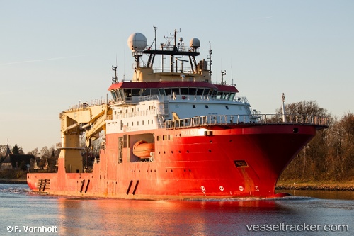
 vesseltracker.com
Live AIS position:
42.76167° S, 65.02333° W UTC. Near Puerto Madryn),
updated 2026-01-13 07:54:28 UTC.
Find the position of the vessel '319210400' on the map. The latter are known coordinates and path.
marine traffic ship tracker show on live map
The current position of vessel '319210400' is -42.76167 lat / -65.02333 lng. Updated: 2026-01-13 07:54:28 UTCDetails:
Last coordinates of the vessel:
UTC, -42.76167, -65.02333, course: -1, speed: 0UTC, -42.76167, -65.02333, course: -1, speed: 0
UTC, -42.76167, -65.02333, course: -1, speed: 0
2026-01-13 07:54:28 UTC, -42.76167, -65.02333, course: -1, speed: 0