 vesseltracker.com
Find the position of the vessel Maersk Columbus on the map. The latter are known coordinates and path.
marine traffic ship tracker show on live map
The current position of vessel Maersk Columbus is 49.7667 lat / -16.4017 lng. Updated: 2025-08-09 20:23:02 UTCCurrently sailing under the flag of USA
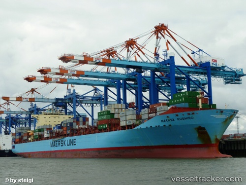
Maersk Columbus built in 2007 year
Deadweight:
84704 tDetails:
Last coordinates of the vessel:
UTC, 49.7833, -15.1767, course: -1, speed: 16UTC, 49.7833, -15.4583, course: -1, speed: 17
UTC, 49.7683, -16.205, course: -1, speed: 17
2025-08-09 20:23:02 UTC, 49.7667, -16.4017, course: -1, speed: 17