 vesseltracker.com
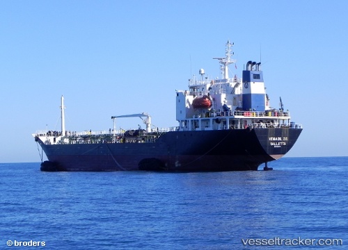
Find the position of the vessel RED SEA 1 on the map. The latter are known coordinates and path.
marine traffic ship tracker show on live map
The current position of vessel RED SEA 1 is 11.6773 lat / 43.1169 lng. Updated: 2024-11-21 23:24:55 UTCCurrently sailing under the flag of St.Kitts and Nevis
RED SEA 1 built in 1994 year
Deadweight:
9593 tDetails:
Last coordinates of the vessel:
UTC, 11.6771, 43.1169, course: 57, speed: 0.1UTC, 11.6771, 43.117, course: 56, speed: 0
UTC, 11.6772, 43.117, course: 68, speed: 0
2024-11-21 23:24:55 UTC, 11.6773, 43.1169, course: 68, speed: 0