 vesseltracker.com
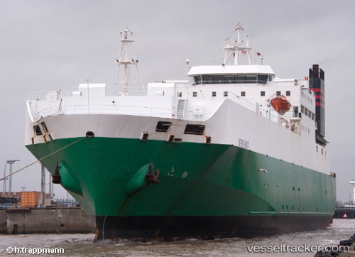
Find the position of the vessel JABAL ALI 9 on the map. The latter are known coordinates and path.
marine traffic ship tracker show on live map
The current position of vessel JABAL ALI 9 is 25.36813 lat / 55.37679 lng. Updated: 2025-10-09 10:56:11 UTCCurrently sailing under the flag of St.Kitts and Nevis
JABAL ALI 9 built in 1983 year
Deadweight:
13090 tDetails:
Last coordinates of the vessel:
UTC, 25.36812, 55.37675, course: 60, speed: 0UTC, 25.36812, 55.37675, course: 60, speed: 0.2
UTC, 25.36811, 55.37678, course: 60, speed: 0
2025-10-09 10:56:11 UTC, 25.36813, 55.37679, course: 60, speed: 0