 vesseltracker.com
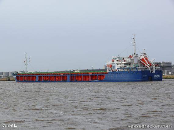
Find the position of the vessel Karelis 72 on the map. The latter are known coordinates and path.
marine traffic ship tracker show on live map
The current position of vessel Karelis 72 is 44.97630 lat / 36.68801 lng. Updated: 2025-10-19 15:22:52 UTCCurrently sailing under the flag of Saint Kitts and Nevis
Karelis 72 built in 2008 year
Deadweight:
5466 tDetails:
Last coordinates of the vessel:
UTC, 44.97630, 36.68801, course: 261, speed: 0.1UTC, 44.97630, 36.68801, course: 261, speed: 0.1
UTC, 44.97630, 36.68801, course: 261, speed: 0.1
2025-10-19 15:22:52 UTC, 44.97630, 36.68801, course: 261, speed: 0.1