 vesseltracker.com
Live AIS position:
25.51058° N, 55.37012° E UTC. Near HAMRIYA),
updated 2025-11-21 01:58:28 UTC.
Find the position of the vessel Selen on the map. The latter are known coordinates and path.
marine traffic ship tracker show on live map
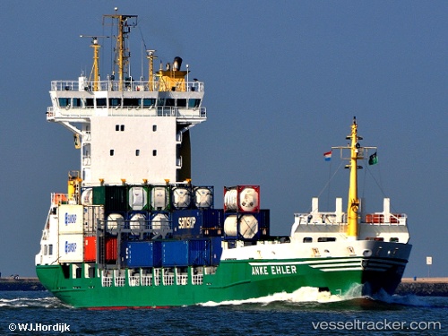
The current position of vessel Selen is 25.51058 lat / 55.37012 lng. Updated: 2025-11-21 01:58:28 UTCCurrently sailing under the flag of Saint Kitts and Nevis
Selen built in 2000 year
Deadweight:
6850 tDetails:
Last coordinates of the vessel:
UTC, 25.51020, 55.37050, course: 17, speed: 0UTC, 25.51023, 55.37032, course: 24, speed: 0
UTC, 25.51063, 55.37002, course: 50, speed: 0
2025-11-21 01:58:28 UTC, 25.51058, 55.37012, course: 42, speed: 0