 vesseltracker.com
Find the position of the vessel SEA SCARF 1 on the map. The latter are known coordinates and path.
marine traffic ship tracker show on live map
The current position of vessel SEA SCARF 1 is 24.3133 lat / 54.4644 lng. Updated: 2025-09-07 05:36:27 UTCCurrently sailing under the flag of St.Kitts and Nevis
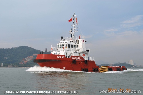
SEA SCARF 1 built in 2011 year
Deadweight:
308 tDetails:
Last coordinates of the vessel:
UTC, 24.3132, 54.4643, course: -1, speed: 0UTC, 24.3133, 54.4646, course: -1, speed: 0
UTC, 24.3132, 54.4644, course: -1, speed: 0
2025-09-07 05:36:27 UTC, 24.3133, 54.4644, course: -1, speed: 0