 vesseltracker.com
Find the position of the vessel The Holy on the map. The latter are known coordinates and path.
marine traffic ship tracker show on live map
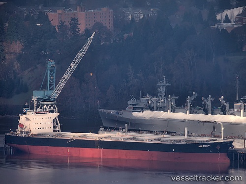
The current position of vessel The Holy is 29.19267 lat / -15.18512 lng. Updated: 2025-11-09 08:48:49 UTCCurrently sailing under the flag of Panama
The Holy built in 2001 year
Deadweight:
76623 tDetails:
Last coordinates of the vessel:
UTC, 28.81923, -15.66354, course: 54, speed: 10.7UTC, 28.92302, -15.52484, course: 49, speed: 10.6
UTC, 29.04871, -15.36120, course: 47, speed: 10.6
2025-11-09 08:48:49 UTC, 29.19267, -15.18512, course: 54, speed: 10.4