 vesseltracker.com
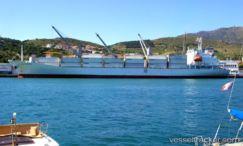
Live AIS position:
35.59967° N, 139.79280° E UTC. Near Aomi),
updated 2025-11-21 03:02:04 UTC.
Find the position of the vessel Lady Rosebud on the map. The latter are known coordinates and path.
marine traffic ship tracker show on live map
The current position of vessel Lady Rosebud is 35.59967 lat / 139.79280 lng. Updated: 2025-11-21 03:02:04 UTCDetails:
Last coordinates of the vessel:
UTC, 35.59970, 139.79297, course: 32, speed: 0UTC, 35.59965, 139.79280, course: 32, speed: 0
UTC, 35.59977, 139.79282, course: 32, speed: 0.1
2025-11-21 03:02:04 UTC, 35.59967, 139.79280, course: 32, speed: 0.1