 vesseltracker.com
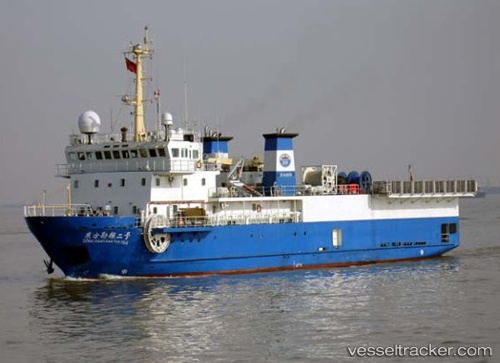
Find the position of the vessel DONG FANG KAN TAN NO. 2 on the map. The latter are known coordinates and path.
marine traffic ship tracker show on live map
The current position of vessel DONG FANG KAN TAN NO. 2 is 24.49098 lat / 53.46415 lng. Updated: 2025-10-14 07:38:52 UTCCurrently sailing under the flag of Panama
DONG FANG KAN TAN NO. 2 built in 2006 year
Deadweight:
650 tDetails:
Last coordinates of the vessel:
UTC, 24.48928, 53.46428, course: 51, speed: 0.2UTC, 24.48885, 53.46984, course: 69, speed: 1.1
UTC, 24.48844, 53.49056, course: 75, speed: 1.2
2025-10-14 07:38:52 UTC, 24.49098, 53.46415, course: 60, speed: 0.6
The ship also appears on the maps: