 vesseltracker.com
Live AIS position:
27.11839° N, 49.73992° E UTC. Near AL JUBAIL),
updated 2025-11-18 08:59:41 UTC.
Find the position of the vessel APUS on the map. The latter are known coordinates and path.
marine traffic ship tracker show on live map
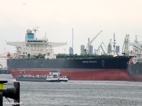
The current position of vessel APUS is 27.11839 lat / 49.73992 lng. Updated: 2025-11-18 08:59:41 UTCCurrently sailing under the flag of Panama
APUS built in 2004 year
Deadweight:
159055 tDetails:
Last coordinates of the vessel:
UTC, 27.11839, 49.73992, course: 14, speed: 2.4UTC, 27.11839, 49.73992, course: 14, speed: 2.4
UTC, 27.11839, 49.73992, course: 14, speed: 2.4
UTC, 27.11839, 49.73992, course: 14, speed: 2.4
UTC, 27.11839, 49.73992, course: 14, speed: 2.4
2025-11-18 08:59:41 UTC, 27.11839, 49.73992, course: 14, speed: 2.4