 vesseltracker.com
Find the position of the vessel DUKE II on the map. The latter are known coordinates and path.
marine traffic ship tracker show on live map
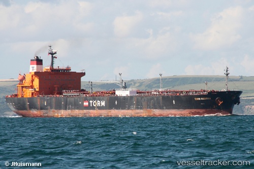
The current position of vessel DUKE II is 32.3646 lat / 15.2149 lng. Updated: 2025-08-23 17:29:51 UTCCurrently sailing under the flag of Panama
DUKE II built in 2003 year
Deadweight:
47024 tDetails:
Last coordinates of the vessel:
UTC, 32.3646, 15.2149, course: -1, speed: 0UTC, 32.3646, 15.2149, course: -1, speed: 0
UTC, 32.3646, 15.2149, course: -1, speed: 0
2025-08-23 17:29:51 UTC, 32.3646, 15.2149, course: -1, speed: 0