 vesseltracker.com
Live AIS position:
40.13296° N, 26.38628° E UTC. Near Canakkale),
updated 2025-11-11 00:47:20 UTC.
Find the position of the vessel FIORA on the map. The latter are known coordinates and path.
marine traffic ship tracker show on live map
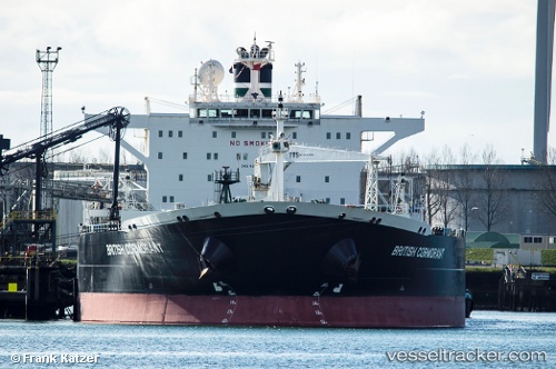
The current position of vessel FIORA is 40.13296 lat / 26.38628 lng. Updated: 2025-11-11 00:47:20 UTCCurrently sailing under the flag of Panama
FIORA built in 2005 year
Deadweight:
113782 tDetails:
Last coordinates of the vessel:
UTC, 40.13296, 26.38628, course: -1, speed: 10.5UTC, 40.13296, 26.38628, course: -1, speed: 10.5
UTC, 40.13296, 26.38628, course: -1, speed: 10.5
2025-11-11 00:47:20 UTC, 40.13296, 26.38628, course: -1, speed: 10.5