 vesseltracker.com
Find the position of the vessel St. Gertrud on the map. The latter are known coordinates and path.
marine traffic ship tracker show on live map
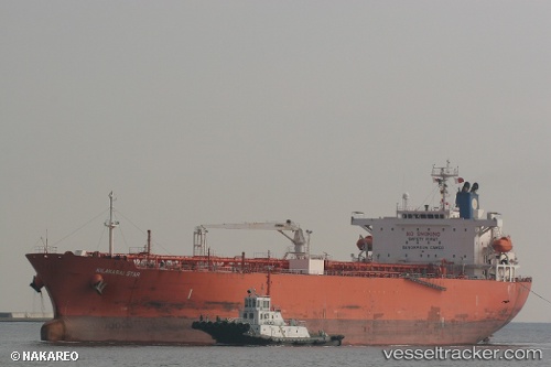
The current position of vessel St. Gertrud is 14.57498 lat / -17.35403 lng. Updated: 2025-10-10 19:19:56 UTCCurrently sailing under the flag of Panama
St. Gertrud built in 2009 year
Deadweight:
46622 tDetails:
Last coordinates of the vessel:
UTC, 14.57393, -17.35495, course: 329, speed: 0UTC, 14.57397, -17.35477, course: 328, speed: 0.1
UTC, 14.57443, -17.35445, course: 310, speed: 0.1
2025-10-10 19:19:56 UTC, 14.57498, -17.35403, course: 291, speed: 0