 vesseltracker.com
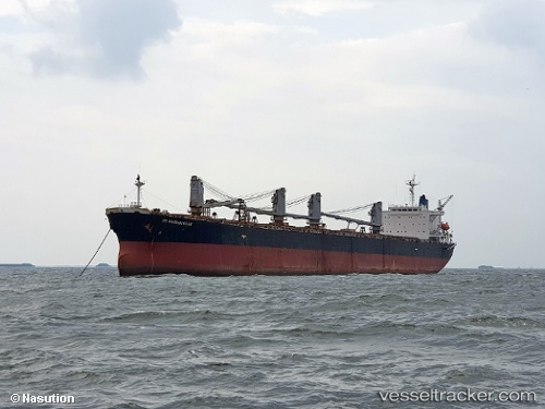
Find the position of the vessel RUBY INDAH on the map. The latter are known coordinates and path.
marine traffic ship tracker show on live map
The current position of vessel RUBY INDAH is 17.71833 lat / 111.44667 lng. Updated: 2025-10-18 20:44:39 UTCCurrently sailing under the flag of Panama
RUBY INDAH built in 1999 year
Deadweight:
73852 tDetails:
Last coordinates of the vessel:
UTC, 18.24000, 111.49667, course: -1, speed: 11UTC, 18.00500, 111.47500, course: -1, speed: 11
UTC, 17.84667, 111.45833, course: -1, speed: 11
2025-10-18 20:44:39 UTC, 17.71833, 111.44667, course: -1, speed: 11