 vesseltracker.com
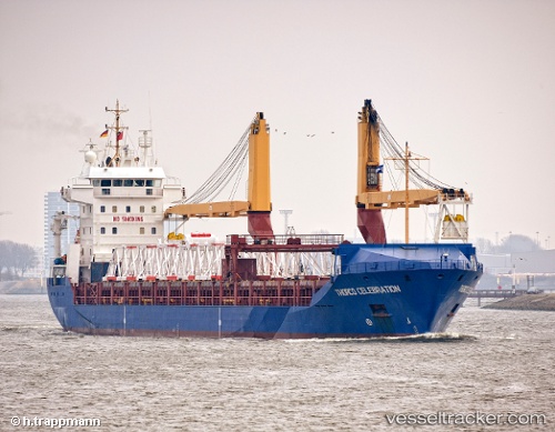
Find the position of the vessel CELESTIA on the map. The latter are known coordinates and path.
marine traffic ship tracker show on live map
The current position of vessel CELESTIA is 6.95214 lat / 79.85349 lng. Updated: 2025-11-09 21:42:38 UTCCurrently sailing under the flag of Panama
CELESTIA built in 2002 year
Deadweight:
10325 tDetails:
Last coordinates of the vessel:
UTC, 6.95214, 79.85340, course: 12, speed: 0.1UTC, 6.95197, 79.85330, course: 12, speed: 0
UTC, 6.95211, 79.85336, course: 12, speed: 0.1
2025-11-09 21:42:38 UTC, 6.95214, 79.85349, course: 12, speed: 0