 vesseltracker.com
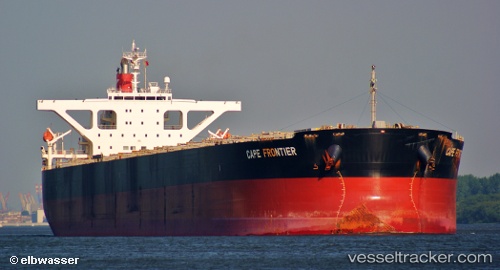
Find the position of the vessel Imperial Frontier on the map. The latter are known coordinates and path.
marine traffic ship tracker show on live map
The current position of vessel Imperial Frontier is 9.41718 lat / -13.6861 lng. Updated: 2025-02-23 16:36:57 UTCPayload_mass:
180201 tonneGross tonnage:
90092Beam:
45 metreService entry:
2006-01-01T00:00:00ZManufacturer:
Imabari Shipbuilding Hiroshima Shipyard (Japanese shipyard)
Details:
Last coordinates of the vessel:
UTC, 9.41827, -13.6868, course: 229, speed: 0UTC, 9.41747, -13.6861, course: 248, speed: 0
UTC, 9.41732, -13.686, course: 253, speed: 0
2025-02-23 16:36:57 UTC, 9.41718, -13.6861, course: 255, speed: 0.1