 vesseltracker.com
Live AIS position:
15.69810° N, 88.61347° W UTC. Near Puerto Santo Tomás de Castilla),
updated 2025-11-19 18:43:34 UTC.
Find the position of the vessel Elenore on the map. The latter are known coordinates and path.
marine traffic ship tracker show on live map
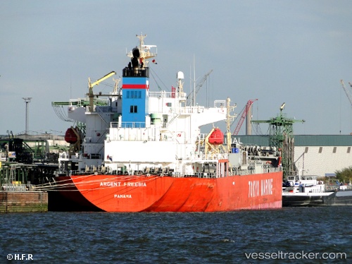
The current position of vessel Elenore is 15.69810 lat / -88.61347 lng. Updated: 2025-11-19 18:43:34 UTCCurrently sailing under the flag of Panama
Elenore built in 2010 year
Deadweight:
34569 tDetails:
Last coordinates of the vessel:
UTC, 15.69810, -88.61342, course: 62, speed: 0UTC, 15.69812, -88.61340, course: 62, speed: 0
UTC, 15.69798, -88.61350, course: 62, speed: 0
2025-11-19 18:43:34 UTC, 15.69810, -88.61347, course: 62, speed: 0