 vesseltracker.com
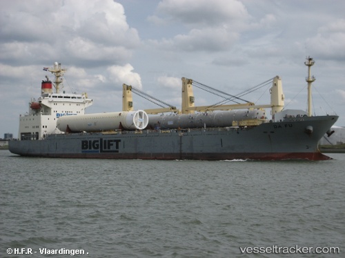
Find the position of the vessel Da Fu on the map. The latter are known coordinates and path.
marine traffic ship tracker show on live map
The current position of vessel Da Fu is 1.95298 lat / 101.83073 lng. Updated: 2025-10-25 20:20:25 UTCCurrently sailing under the flag of Panama
Da Fu built in 1998 year
Deadweight:
16957 tDetails:
Last coordinates of the vessel:
UTC, 1.95105, 101.83246, course: 281, speed: 0UTC, 1.95263, 101.83176, course: 224, speed: 0.2
UTC, 1.95297, 101.83072, course: 180, speed: 0
2025-10-25 20:20:25 UTC, 1.95298, 101.83073, course: 180, speed: 0
The ship also appears on the maps: