 vesseltracker.com
Live AIS position:
31.24005° N, 29.73552° E UTC. Near EL DEKHEILA),
updated 2025-11-21 13:31:18 UTC.
Find the position of the vessel Vera P on the map. The latter are known coordinates and path.
marine traffic ship tracker show on live map
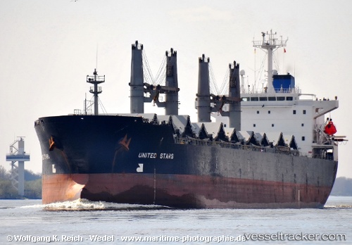
The current position of vessel Vera P is 31.24005 lat / 29.73552 lng. Updated: 2025-11-21 13:31:18 UTCCurrently sailing under the flag of Panama
Vera P built in 1995 year
Deadweight:
43991 tDetails:
Last coordinates of the vessel:
UTC, 31.24002, 29.73556, course: 39, speed: 0UTC, 31.23997, 29.73555, course: 39, speed: 0
UTC, 31.23999, 29.73555, course: 41, speed: 0
2025-11-21 13:31:18 UTC, 31.24005, 29.73552, course: 42, speed: 0