 vesseltracker.com
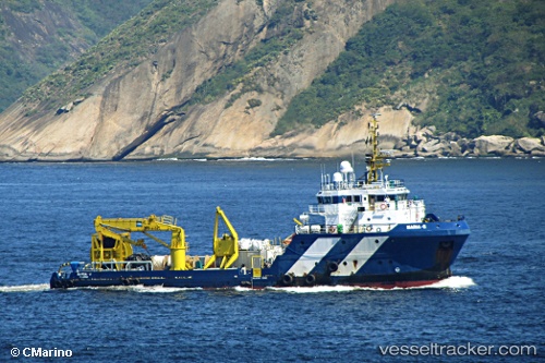
Find the position of the vessel Maria g on the map. The latter are known coordinates and path.
marine traffic ship tracker show on live map
The current position of vessel Maria g is 1.31327 lat / 103.64021 lng. Updated: 2025-11-03 15:08:38 UTCCurrently sailing under the flag of Panama
Maria g built in 2009 year
Deadweight:
1126 tDetails:
Last coordinates of the vessel:
UTC, 1.31330, 103.64017, course: 43, speed: 0UTC, 1.31328, 103.64017, course: 43, speed: 0
UTC, 1.31333, 103.64010, course: 43, speed: 0
2025-11-03 15:08:38 UTC, 1.31327, 103.64021, course: 43, speed: 0