 vesseltracker.com
Live AIS position:
34.10275° N, 126.34018° E UTC. Near Chuja),
updated 2025-11-20 07:35:11 UTC.
Find the position of the vessel EASLINE YANTAI on the map. The latter are known coordinates and path.
marine traffic ship tracker show on live map
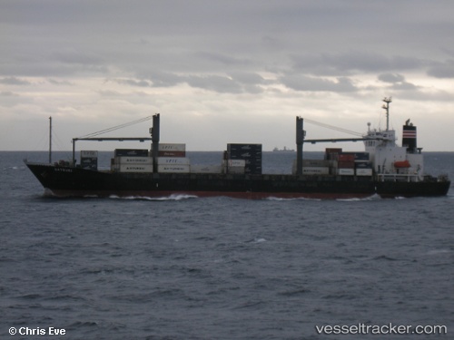
The current position of vessel EASLINE YANTAI is 34.10275 lat / 126.34018 lng. Updated: 2025-11-20 07:35:11 UTCCurrently sailing under the flag of Panama
EASLINE YANTAI built in 1997 year
Deadweight:
17705 tDetails:
Last coordinates of the vessel:
UTC, 34.09385, 126.96088, course: 264, speed: 14UTC, 34.08500, 126.81667, course: -1, speed: 13
UTC, 34.08823, 126.54977, course: 277, speed: 12.8
2025-11-20 07:35:11 UTC, 34.10275, 126.34018, course: 280, speed: 13.5