 vesseltracker.com
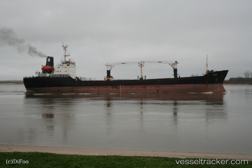
Find the position of the vessel Mehmet Aga on the map. The latter are known coordinates and path.
marine traffic ship tracker show on live map
The current position of vessel Mehmet Aga is 34.92435 lat / 33.64227 lng. Updated: 2025-10-06 02:49:17 UTCCurrently sailing under the flag of Panama
Mehmet Aga built in 1989 year
Deadweight:
8720 tDetails:
Last coordinates of the vessel:
UTC, 34.92438, 33.64224, course: 250, speed: 0.1UTC, 34.92439, 33.64227, course: 250, speed: 0.1
UTC, 34.92439, 33.64228, course: 250, speed: 0.1
2025-10-06 02:49:17 UTC, 34.92435, 33.64227, course: 250, speed: 0.1