 vesseltracker.com
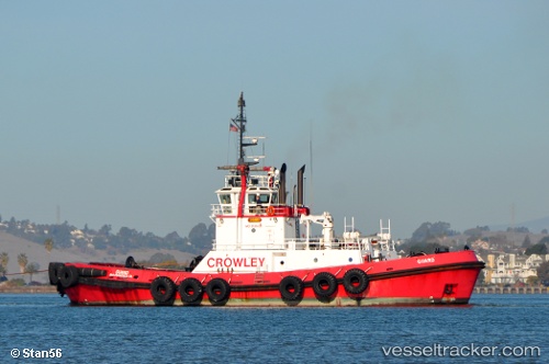
Vessel Guard IMO: 9139830, MMSI: 366887300 Tug
UTC, 47.25473, -122.43279, course: 352, speed: 0
UTC, 47.25471, -122.43281, course: 352, speed: 0
2026-01-18 00:05:19 UTC, 47.27864, -122.42124, course: 75, speed: 7.2
Live AIS position:
UTC. Near Tacoma),
updated 2026-01-18 00:05:19 UTC.
Find the position of the vessel Guard on the map. The latter are known coordinates and path.
marine traffic ship tracker show on live map
The current position of vessel Guard is 47.27864 lat / -122.42124 lng. Updated: 2026-01-18 00:05:19 UTCCurrently sailing under the flag of USA
Guard built in 1997 year
Deadweight:
470 tDetails:
Last coordinates of the vessel:
UTC, 47.25471, -122.43283, course: 351, speed: 0UTC, 47.25473, -122.43279, course: 352, speed: 0
UTC, 47.25471, -122.43281, course: 352, speed: 0
2026-01-18 00:05:19 UTC, 47.27864, -122.42124, course: 75, speed: 7.2