 vesseltracker.com
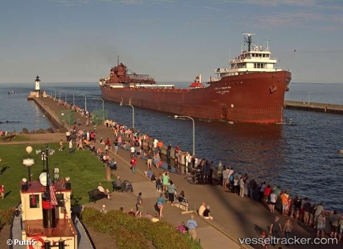
Find the position of the vessel Lee A Tregurtha on the map. The latter are known coordinates and path.
marine traffic ship tracker show on live map
The current position of vessel Lee A Tregurtha is 42.13397 lat / -87.41360 lng. Updated: 2025-09-27 19:22:50 UTCDetails:
Last coordinates of the vessel:
UTC, 41.67547, -87.43784, course: 344, speed: 0UTC, 41.67543, -87.43786, course: 344, speed: 0
UTC, 41.71995, -87.45667, course: 345, speed: 11.3
2025-09-27 19:22:50 UTC, 42.13397, -87.41360, course: 8, speed: 12.9