 vesseltracker.com
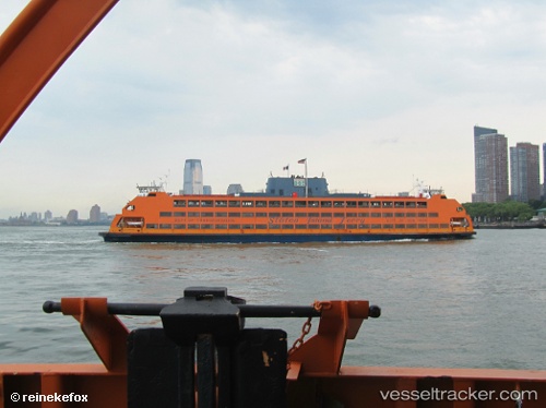
Find the position of the vessel Samuel I Newhouse on the map. The latter are known coordinates and path.
marine traffic ship tracker show on live map
The current position of vessel Samuel I Newhouse is 40.64400 lat / -74.07167 lng. Updated: 2025-11-09 08:52:23 UTCCurrently sailing under the flag of USA
Samuel I Newhouse built in 1982 year
Deadweight:
2250 tDetails:
Last coordinates of the vessel:
UTC, 40.64400, -74.07167, course: 247, speed: 0UTC, 40.64400, -74.07167, course: 251, speed: 0
UTC, 40.64400, -74.07183, course: 251, speed: 0
2025-11-09 08:52:23 UTC, 40.64400, -74.07167, course: 247, speed: 0